Salmon River Nr Shoup Id Water Level
Current Elevation
Sensor OfflineWater Temperature
60.1° F
Cold
Chilly water. Good for trout fishing, too cold for prolonged swimming.
Flow Rate (Discharge)
Current flow is 4,730 cfs (cubic feet per second). Fast moving water! Exercise extreme caution. Not recommended for inexperienced paddlers.
Map & Location
GPS: 45.32250000°N, -99.99999999°W
❓ Frequently Asked Questions
Where is Salmon River Nr Shoup Id located?
Salmon River Nr Shoup Id is a River located in Idaho. The exact GPS coordinates are 45.32250000°N, -99.99999999°W. You can use these coordinates to get driving directions via Google Maps.
What is the current water temperature at Salmon River Nr Shoup Id?
The latest recorded water temperature at Salmon River Nr Shoup Id is 60.1°F, which is classified as "Cold". Chilly water. Good for trout fishing, too cold for prolonged swimming.
What is the current flow rate at Salmon River Nr Shoup Id?
The most recent discharge measurement at Salmon River Nr Shoup Id is 4,730 cubic feet per second (cfs). This data is provided by USGS and is updated daily.
Is it safe to swim or boat at Salmon River Nr Shoup Id?
Safety conditions at Salmon River Nr Shoup Id depend on current water levels, flow rates, temperature, and weather. Always check the latest data on this page before planning any water activities. Current water temperature is 60.1°F. We recommend checking local advisories and weather forecasts for the most up-to-date safety information.
Is Salmon River Nr Shoup Id good for fishing?
Salmon River Nr Shoup Id in Idaho is a popular destination for anglers. With a current water temperature of 60.1°F, conditions are favorable for cold-water species like trout and bass. Always verify you have the appropriate state fishing license.
Other Water Bodies in Idaho
Little Wood River Ab High Five Creek Nr Carey Id
river
South Middleton Drain At Middleton Id
lake
Big Lost River Nr Leslie Id
river
Sheep Creek Abv Mouth Nr Grasmere, Id
river
Willow Cr Floodway Channel At Mouth Nr Id Falls Id
lake
Nf Coeur D Alene River At Enaville Id
river
Bear River Bl Upl Tailrace At Oneida Id
river
Snake River At Weiser Id
river
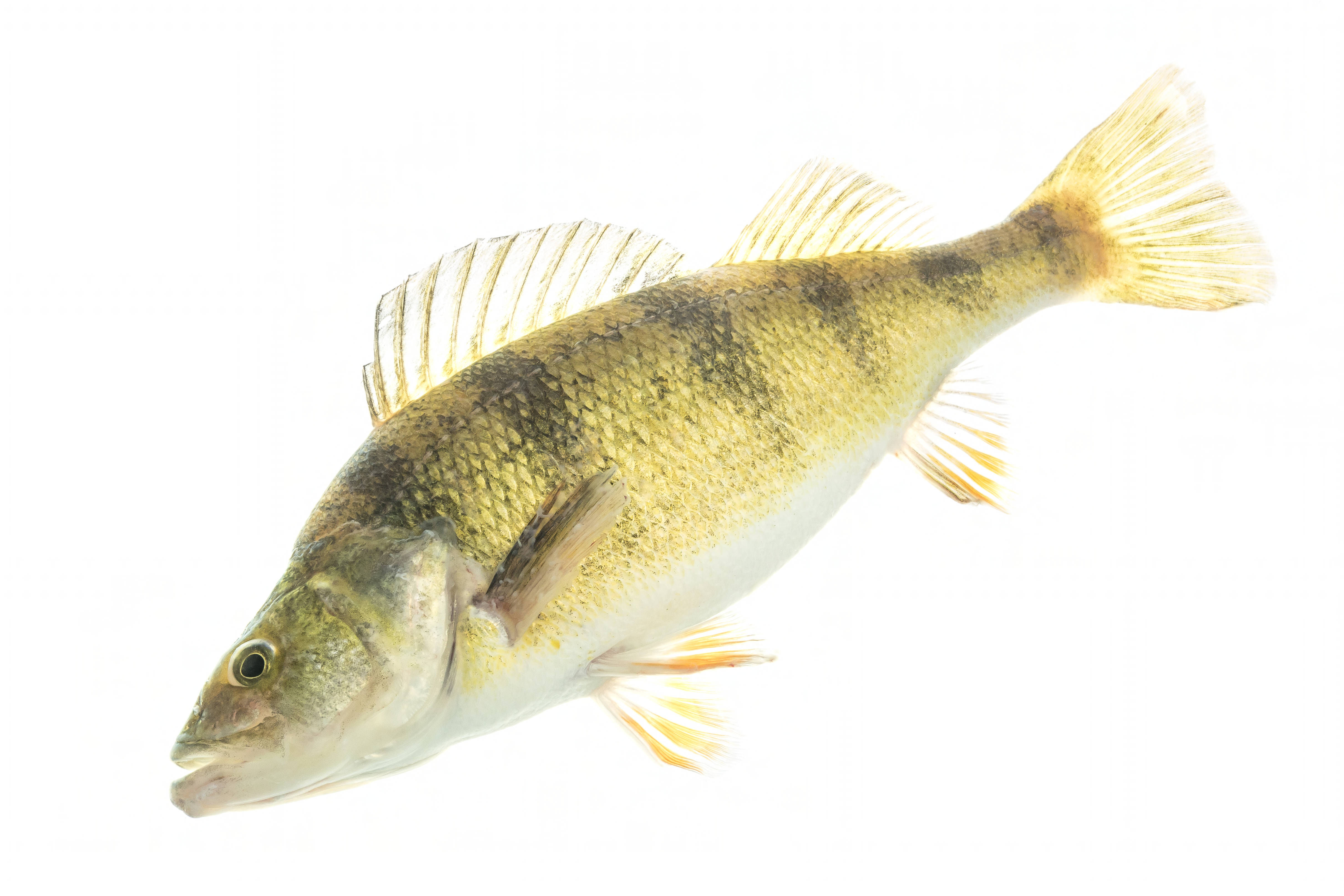
🐟 Fish Species at This Location
Based on the current water temperature of 60.1°F, these species are actively feeding in Idaho.


🎣 Fished at Salmon River Nr Shoup Id?
Share your catch and help fellow anglers plan their next trip!
📝 Submit a Fishing Report →Location Details
- State: Idaho
- Type: River
- Data Source: USGS
- Site Code: 13307000