Mount Misery Brook At Upton Nj Water Level
Current Elevation
Sensor OfflineWater Temperature
54.7° F
Cold
Chilly water. Good for trout fishing, too cold for prolonged swimming.
Map & Location
GPS: 39.92888889°N, -74.53111110°W
❓ Frequently Asked Questions
Where is Mount Misery Brook At Upton Nj located?
Mount Misery Brook At Upton Nj is a River located in New Jersey. The exact GPS coordinates are 39.92888889°N, -74.53111110°W. You can use these coordinates to get driving directions via Google Maps.
What is the current water temperature at Mount Misery Brook At Upton Nj?
The latest recorded water temperature at Mount Misery Brook At Upton Nj is 54.7°F, which is classified as "Cold". Chilly water. Good for trout fishing, too cold for prolonged swimming.
Is it safe to swim or boat at Mount Misery Brook At Upton Nj?
Safety conditions at Mount Misery Brook At Upton Nj depend on current water levels, flow rates, temperature, and weather. Always check the latest data on this page before planning any water activities. Current water temperature is 54.7°F. We recommend checking local advisories and weather forecasts for the most up-to-date safety information.
Is Mount Misery Brook At Upton Nj good for fishing?
Mount Misery Brook At Upton Nj in New Jersey is a popular destination for anglers. With a current water temperature of 54.7°F, conditions are favorable for cold-water species like trout and bass. Always verify you have the appropriate state fishing license.
Other Water Bodies in New Jersey
Assunpink Creek Near Clarksville Nj
river
Del & Rar Canal At Landing La At New Brunswick Nj
river
Southwest Branch Rancocas Creek At Medford Nj
river
Cooper Branch At Muddy Rd Nr Mcdonald Nj
lake
Bread And Cheese Rn At Friendship Nj
lake
Pascack Bk At Woodcliff Lk Outlet At Hillsdale Nj
lake
Raccoon Creek Near Swedesboro Nj
river
Nb Mount Misery Brook At Mount Misery Nj
river
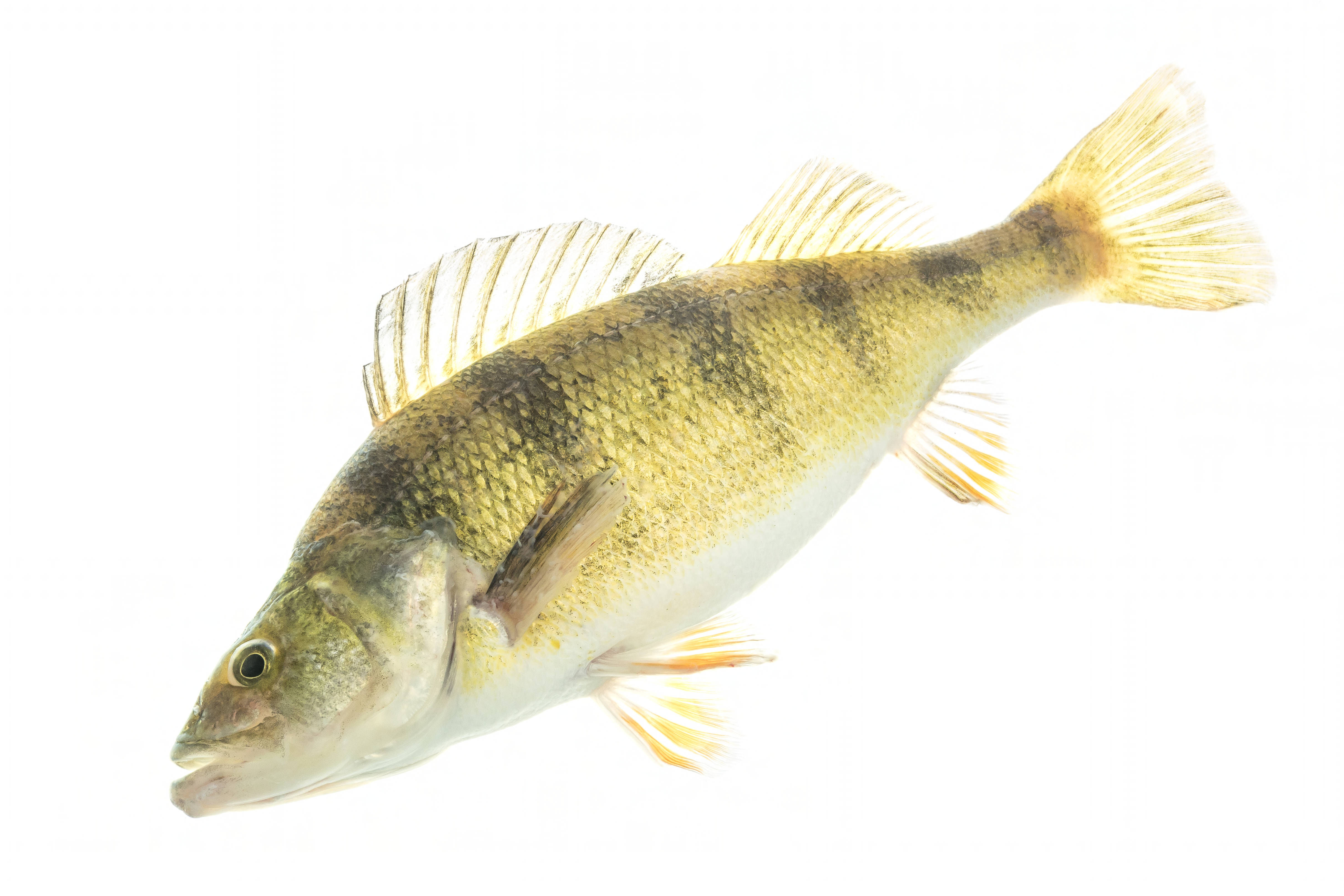
🐟 Fish Species at This Location
Based on the current water temperature of 54.7°F, these species are actively feeding in New Jersey.


🎣 Fished at Mount Misery Brook At Upton Nj?
Share your catch and help fellow anglers plan their next trip!
📝 Submit a Fishing Report →Location Details
- State: New Jersey
- Type: River
- Data Source: USGS
- Site Code: 01466100