Horse Creek Near Mckenzie Bridge, Or Water Level
Current Elevation
10.19 ftWater Temperature
44.6° F
Very Cold
Extremely cold water. Winter gear required for any water activity.
Flow Rate (Discharge)
Current flow is 578 cfs (cubic feet per second). Normal flow conditions suitable for most river activities.
Map & Location
GPS: 44.16269444°N, -99.99999999°W
❓ Frequently Asked Questions
Where is Horse Creek Near Mckenzie Bridge, Or located?
Horse Creek Near Mckenzie Bridge, Or is a River located in Oregon. The exact GPS coordinates are 44.16269444°N, -99.99999999°W. You can use these coordinates to get driving directions via Google Maps.
What is the Horse Creek Near Mckenzie Bridge, Or water level today?
As of April 1, 2026, the water surface elevation at Horse Creek Near Mckenzie Bridge, Or is 10.19 feet above sea level.
What is the current water temperature at Horse Creek Near Mckenzie Bridge, Or?
The latest recorded water temperature at Horse Creek Near Mckenzie Bridge, Or is 44.6°F, which is classified as "Very Cold". Extremely cold water. Winter gear required for any water activity.
What is the current flow rate at Horse Creek Near Mckenzie Bridge, Or?
The most recent discharge measurement at Horse Creek Near Mckenzie Bridge, Or is 578 cubic feet per second (cfs). This data is provided by USGS and is updated daily.
Is it safe to swim or boat at Horse Creek Near Mckenzie Bridge, Or?
Safety conditions at Horse Creek Near Mckenzie Bridge, Or depend on current water levels, flow rates, temperature, and weather. Always check the latest data on this page before planning any water activities. Current water temperature is 44.6°F. We recommend checking local advisories and weather forecasts for the most up-to-date safety information.
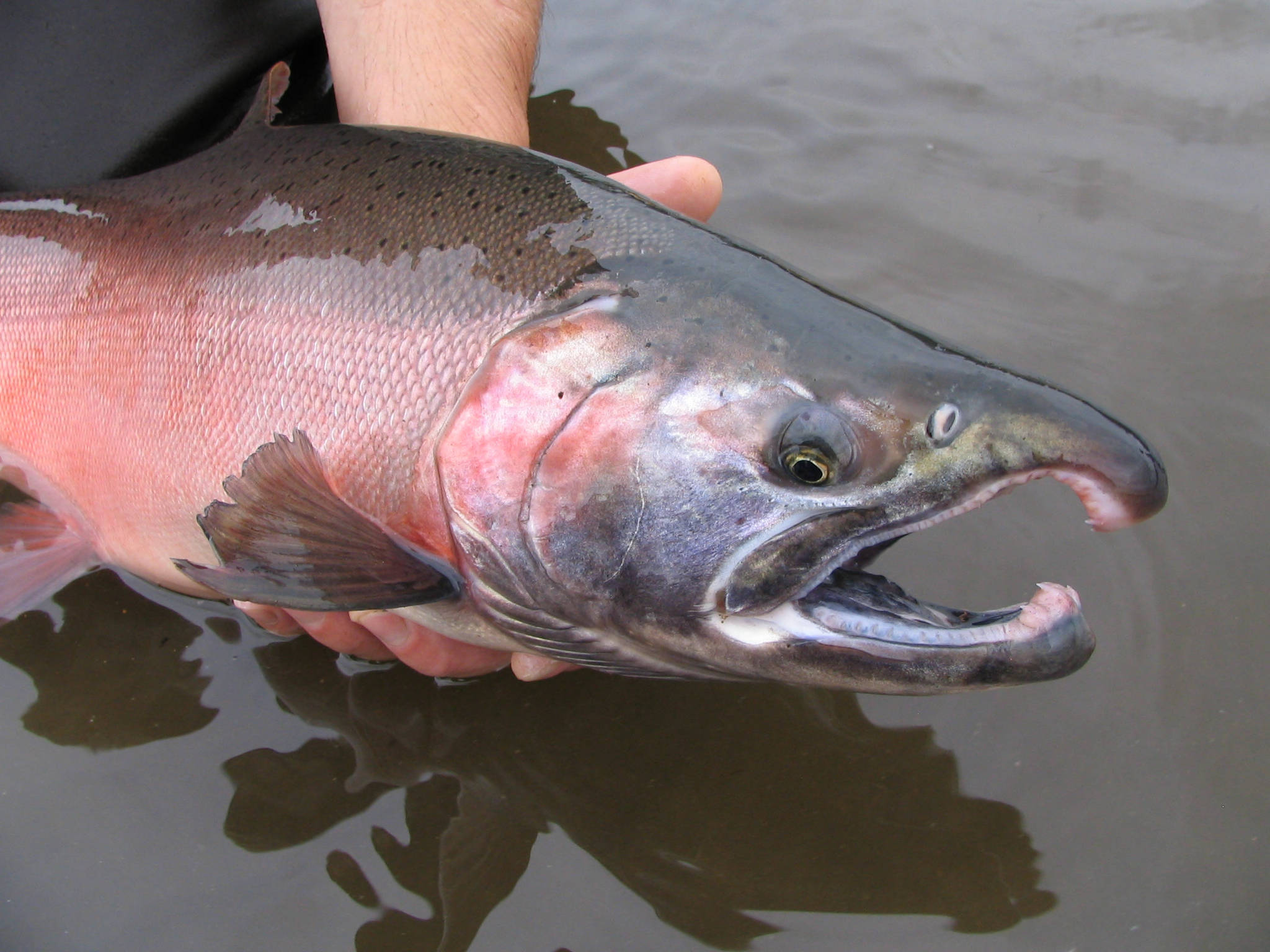
Is Horse Creek Near Mckenzie Bridge, Or good for fishing?
Horse Creek Near Mckenzie Bridge, Or in Oregon is a popular destination for anglers. With a current water temperature of 44.6°F, conditions are favorable for cold-water species like trout and bass. Always verify you have the appropriate state fishing license.
Other Water Bodies in Oregon
Bridge Cr Abv Coyote Canyon Nr Mitchell, Or
lake
Lookout Creek Near Blue River, Or
river
Coast Fork Willamette River Near Goshen, Or
river
Lost River Below Malone Dam At Gift Road
river
Mf Coquille River Blw Mcmullen Creek Nr Bridge, Or
river
Fall Creek Above Tiller Creek, Near Lowell, Or
river
North Umpqua River At Toketee Falls, Or
river
Mf John Day River Abv Camp Creek, Nr Galena, Or
river
🐟 Fish Species at This Location
Based on the current water temperature of 44.6°F, these species are actively feeding in Oregon.


🎣 Fished at Horse Creek Near Mckenzie Bridge, Or?
Share your catch and help fellow anglers plan their next trip!
📝 Submit a Fishing Report →Location Details
- State: Oregon
- Type: River
- Data Source: USGS
- Site Code: 14159100