Sardine Creek Near Niagra, Or Water Level
Current Elevation
4.36 ftWater Temperature
53.1° F
Cold
Chilly water. Good for trout fishing, too cold for prolonged swimming.
30-Day Water Level Trend
Map & Location
GPS: 44.74750000°N, -99.99999999°W
❓ Frequently Asked Questions
Where is Sardine Creek Near Niagra, Or located?
Sardine Creek Near Niagra, Or is a River located in Oregon. The exact GPS coordinates are 44.74750000°N, -99.99999999°W. You can use these coordinates to get driving directions via Google Maps.
What is the Sardine Creek Near Niagra, Or water level today?
As of June 4, 2026, the water surface elevation at Sardine Creek Near Niagra, Or is 4.36 feet above sea level.
What is the current water temperature at Sardine Creek Near Niagra, Or?
The latest recorded water temperature at Sardine Creek Near Niagra, Or is 53.1°F, which is classified as "Cold". Chilly water. Good for trout fishing, too cold for prolonged swimming.
Is it safe to swim or boat at Sardine Creek Near Niagra, Or?
Safety conditions at Sardine Creek Near Niagra, Or depend on current water levels, flow rates, temperature, and weather. Always check the latest data on this page before planning any water activities. Current water temperature is 53.1°F. We recommend checking local advisories and weather forecasts for the most up-to-date safety information.
Is Sardine Creek Near Niagra, Or good for fishing?
Sardine Creek Near Niagra, Or in Oregon is a popular destination for anglers. With a current water temperature of 53.1°F, conditions are favorable for cold-water species like trout and bass. Always verify you have the appropriate state fishing license.
Other Water Bodies in Oregon
Tualatin River At Hwy 219 Near Hillsboro, Or
river
Bull Run River Blw Bull Run Res 2, Nr Bull Run, Or
river
North Santiam River At Gates, Or
river
Clackamas River At Estacada, Or
river
Miller Creek Near Beaver Marsh, Or
river
Dexter Dam Tailwater At Dexter, Or
reservoir
North Santiam River At Niagara, Or
river
Klamath Straits Drain Near Highway 97, Or
lake
🐟 Fish Species at This Location
Based on the current water temperature of 53.1°F, these species are actively feeding in Oregon.

Brook Trout
Salvelinus fontinalis
✓ Optimal Temp
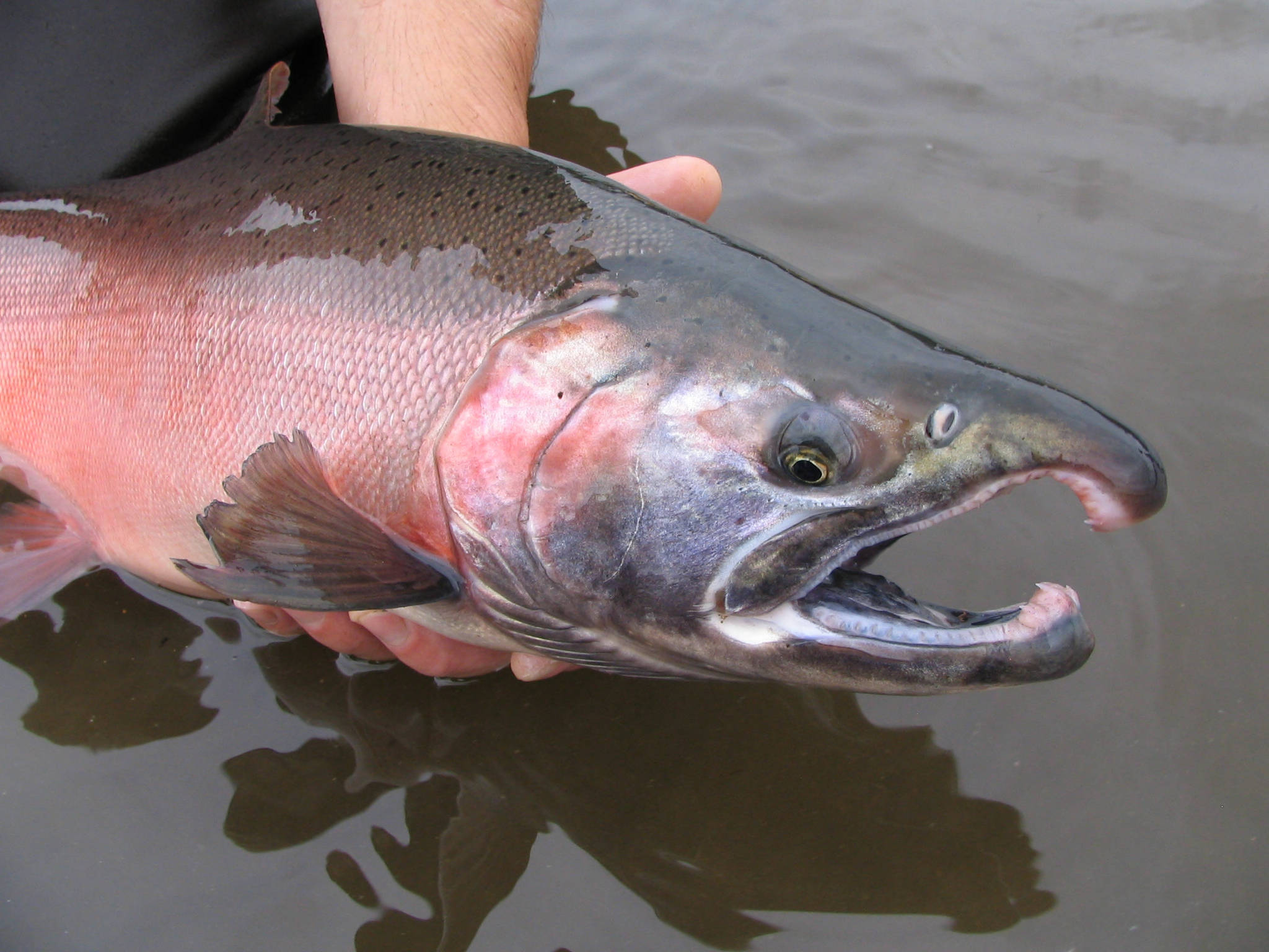
Chinook Salmon (King Salmon)
Oncorhynchus tshawytscha
✓ Optimal Temp
Coho Salmon (Silver Salmon)
Oncorhynchus kisutch
✓ Optimal Temp

Rainbow Trout
Oncorhynchus mykiss
✓ Optimal Temp

Northern Pike
Esox lucius
✓ Optimal Temp

Brown Trout
Salmo trutta
✓ Optimal Temp
🎣 Fished at Sardine Creek Near Niagra, Or?
Share your catch and help fellow anglers plan their next trip!
📝 Submit a Fishing Report →Location Details
- State: Oregon
- Type: River
- Data Source: USGS
- Site Code: 14181350