South Santiam River At Upper Soda, Or Water Level
Current Elevation
9.00 ftWater Temperature
48.2° F
Very Cold
Extremely cold water. Winter gear required for any water activity.
30-Day Water Level Trend
Flow Rate (Discharge)
Current flow is 112 cfs (cubic feet per second). Calm flow. Ideal for gentle kayaking and wading.
Map & Location
GPS: 44.40475000°N, -99.99999999°W
❓ Frequently Asked Questions
Where is South Santiam River At Upper Soda, Or located?
South Santiam River At Upper Soda, Or is a River located in Oregon. The exact GPS coordinates are 44.40475000°N, -99.99999999°W. You can use these coordinates to get driving directions via Google Maps.
What is the South Santiam River At Upper Soda, Or water level today?
As of April 30, 2026, the water surface elevation at South Santiam River At Upper Soda, Or is 9.00 feet above sea level.
What is the current water temperature at South Santiam River At Upper Soda, Or?
The latest recorded water temperature at South Santiam River At Upper Soda, Or is 48.2°F, which is classified as "Very Cold". Extremely cold water. Winter gear required for any water activity.
What is the current flow rate at South Santiam River At Upper Soda, Or?
The most recent discharge measurement at South Santiam River At Upper Soda, Or is 112 cubic feet per second (cfs). This data is provided by USGS and is updated daily.
Is it safe to swim or boat at South Santiam River At Upper Soda, Or?
Safety conditions at South Santiam River At Upper Soda, Or depend on current water levels, flow rates, temperature, and weather. Always check the latest data on this page before planning any water activities. Current water temperature is 48.2°F. We recommend checking local advisories and weather forecasts for the most up-to-date safety information.
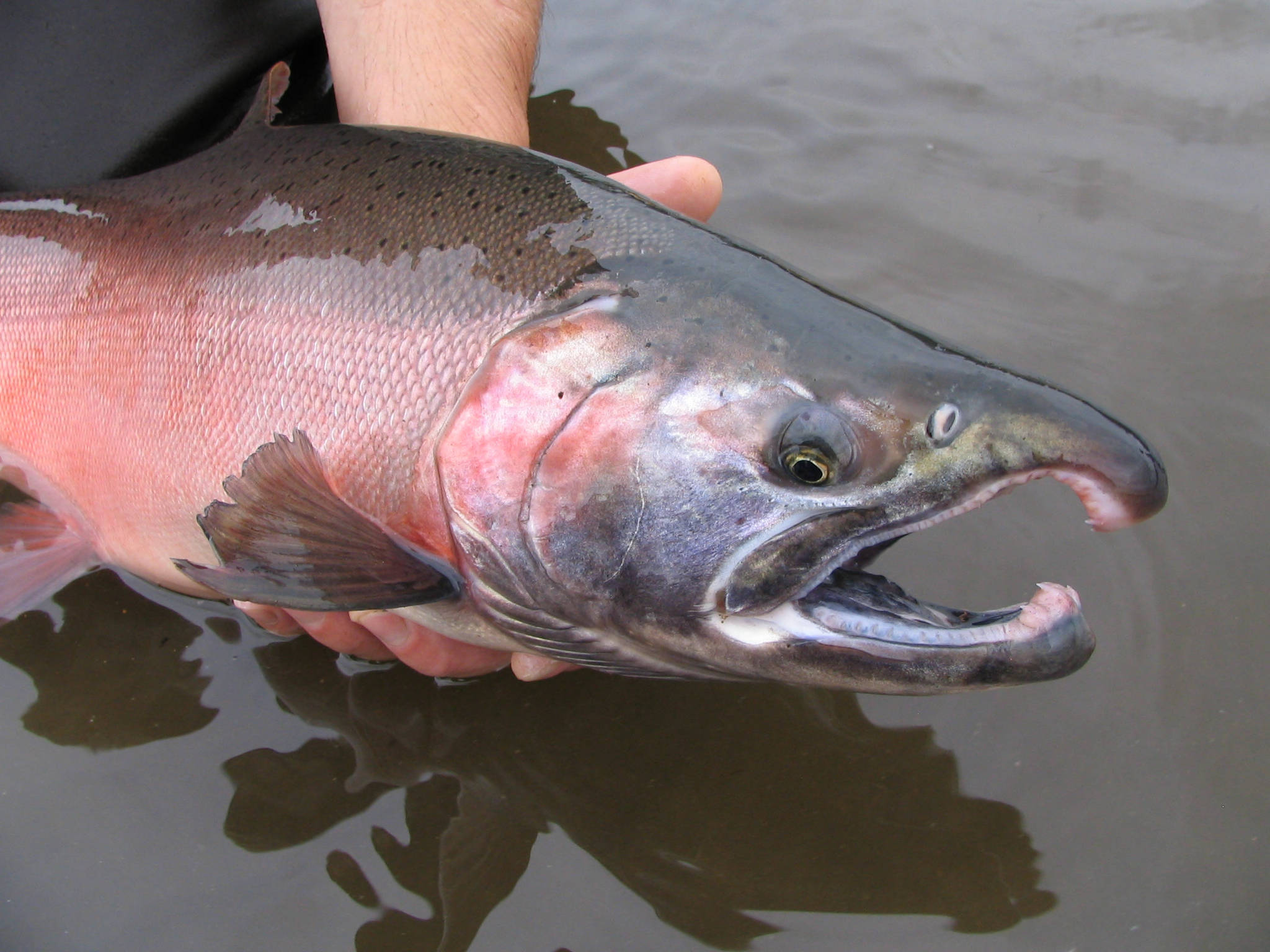
Is South Santiam River At Upper Soda, Or good for fishing?
South Santiam River At Upper Soda, Or in Oregon is a popular destination for anglers. With a current water temperature of 48.2°F, conditions are favorable for cold-water species like trout and bass. Always verify you have the appropriate state fishing license.
Other Water Bodies in Oregon
Mf Willamette R Abv Snake Creek, Nr Oakridge, Or
river
Little Sandy River Near Bull Run, Or
river
Sand Creek Blw Sand Creek Canal Nr Chinchalo, Or
river
Lookout Creek Near Blue River, Or
river
Malheur Lake - Mal-Ne
lake
Link River Dam
river
South Santiam River At Lebanon, Or
river
Gales Creek At Old Hwy 47, Forest Grove, Or
river
🐟 Fish Species at This Location
Based on the current water temperature of 48.2°F, these species are actively feeding in Oregon.


🎣 Fished at South Santiam River At Upper Soda, Or?
Share your catch and help fellow anglers plan their next trip!
📝 Submit a Fishing Report →Location Details
- State: Oregon
- Type: River
- Data Source: USGS
- Site Code: 14184300