Skrine Creek Near Mcclellenville, Sc Water Level
Current Elevation
8.48 ftWater Temperature
75.9° F
Warm
Pleasant temperature. Great for kayaking, paddleboarding, and active swimming.
30-Day Water Level Trend
Map & Location
GPS: 33.07444444°N, -79.41916670°W
❓ Frequently Asked Questions
Where is Skrine Creek Near Mcclellenville, Sc located?
Skrine Creek Near Mcclellenville, Sc is a River located in South Carolina. The exact GPS coordinates are 33.07444444°N, -79.41916670°W. You can use these coordinates to get driving directions via Google Maps.
What is the Skrine Creek Near Mcclellenville, Sc water level today?
As of June 5, 2026, the water surface elevation at Skrine Creek Near Mcclellenville, Sc is 8.48 feet above sea level.
What is the current water temperature at Skrine Creek Near Mcclellenville, Sc?
The latest recorded water temperature at Skrine Creek Near Mcclellenville, Sc is 75.9°F, which is classified as "Warm". Pleasant temperature. Great for kayaking, paddleboarding, and active swimming.
Is it safe to swim or boat at Skrine Creek Near Mcclellenville, Sc?
Safety conditions at Skrine Creek Near Mcclellenville, Sc depend on current water levels, flow rates, temperature, and weather. Always check the latest data on this page before planning any water activities. Current water temperature is 75.9°F. We recommend checking local advisories and weather forecasts for the most up-to-date safety information.
Is Skrine Creek Near Mcclellenville, Sc good for fishing?
Skrine Creek Near Mcclellenville, Sc in South Carolina is a popular destination for anglers. With a current water temperature of 75.9°F, conditions are suitable for warm-water species like catfish, crappie, and largemouth bass. Always verify you have the appropriate state fishing license.
Other Water Bodies in South Carolina
Rocky Creek Near Wade Hampton, Sc
river
Lake Marion Near Pineville, Sc
lake
Lawsons Fork Creek At Dewey Plant Nr Inman, Sc
river
Black Creek Near Quinby, Sc
river
L Back River Above Lucknow Canal, Nr Limehouse, Sc
river
Rocky Branch At Whaley St At Columbia, Sc
lake
North Fork Edisto River At Orangeburg, Sc
river
Broad River Near Jenkinsville, Sc
river
🐟 Fish Species at This Location
Based on the current water temperature of 75.9°F, these species are actively feeding in South Carolina.
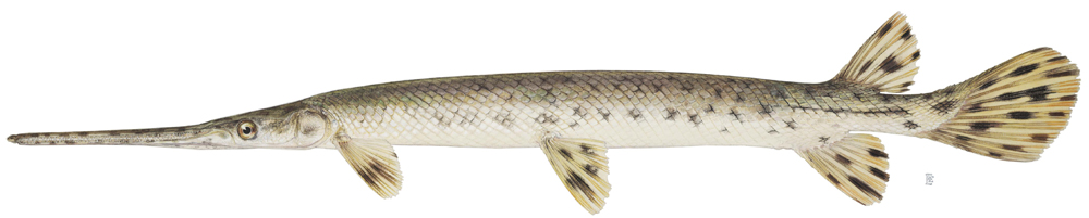
Longnose Gar
Lepisosteus osseus
✓ Optimal Temp
Redear Sunfish (Shellcracker)
Lepomis microlophus
✓ Optimal Temp
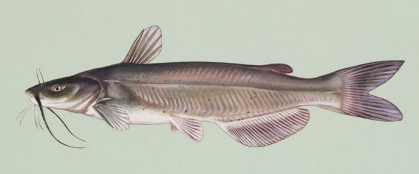
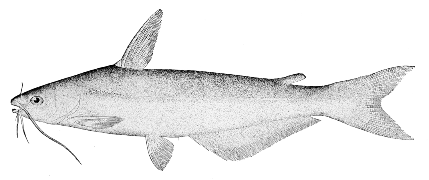
Channel Catfish
Ictalurus punctatus
✓ Optimal Temp
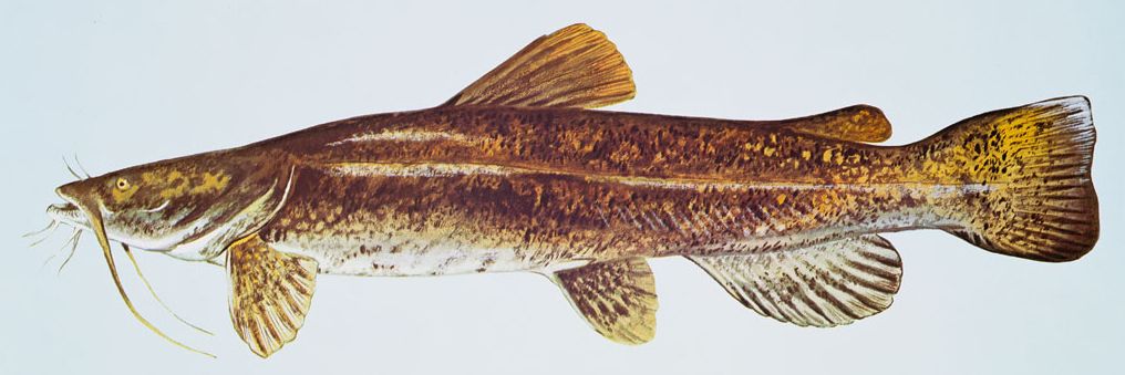
Flathead Catfish
Pylodictis olivaris
✓ Optimal Temp
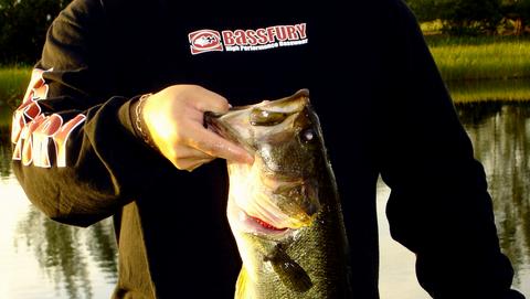
Largemouth Bass
Micropterus salmoides
✓ Optimal Temp
Blue Catfish
Ictalurus furcatus
✓ Optimal Temp
🎣 Fished at Skrine Creek Near Mcclellenville, Sc?
Share your catch and help fellow anglers plan their next trip!
📝 Submit a Fishing Report →Location Details
- State: South Carolina
- Type: River
- Data Source: USGS
- Site Code: 02171920