Difficult Run Near Great Falls, Va Water Level
Current Elevation
Sensor OfflineWater Temperature
68.4° F
Warm
Pleasant temperature. Great for kayaking, paddleboarding, and active swimming.
Map & Location
GPS: 38.97594346°N, -77.24581439°W
❓ Frequently Asked Questions
Where is Difficult Run Near Great Falls, Va located?
Difficult Run Near Great Falls, Va is a Lake located in Virginia. The exact GPS coordinates are 38.97594346°N, -77.24581439°W. You can use these coordinates to get driving directions via Google Maps.
What is the current water temperature at Difficult Run Near Great Falls, Va?
The latest recorded water temperature at Difficult Run Near Great Falls, Va is 68.4°F, which is classified as "Warm". Pleasant temperature. Great for kayaking, paddleboarding, and active swimming.
What is the current flow rate at Difficult Run Near Great Falls, Va?
The most recent discharge measurement at Difficult Run Near Great Falls, Va is 15 cubic feet per second (cfs). This data is provided by USGS and is updated daily.
Is it safe to swim or boat at Difficult Run Near Great Falls, Va?
Safety conditions at Difficult Run Near Great Falls, Va depend on current water levels, flow rates, temperature, and weather. Always check the latest data on this page before planning any water activities. Current water temperature is 68.4°F. We recommend checking local advisories and weather forecasts for the most up-to-date safety information.
Is Difficult Run Near Great Falls, Va good for fishing?
Difficult Run Near Great Falls, Va in Virginia is a popular destination for anglers. With a current water temperature of 68.4°F, conditions are suitable for warm-water species like catfish, crappie, and largemouth bass. Always verify you have the appropriate state fishing license.
Other Water Bodies in Virginia
Banister River At Halifax, Va
river
Maury River At Rockbridge Baths, Va
river
Catawba Creek Near Catawba, Va
river
Jackson River Bl Gathright Dam Nr Hot Spgs, Va
river
South Anna River Near Gordonsville, Va
river
Roanoke River At Buggs Island, Va
river
Rapidan River Near Ruckersville, Va
river
James River At Cartersville, Va
river
🐟 Fish Species at This Location
Based on the current water temperature of 68.4°F, these species are actively feeding in Virginia.
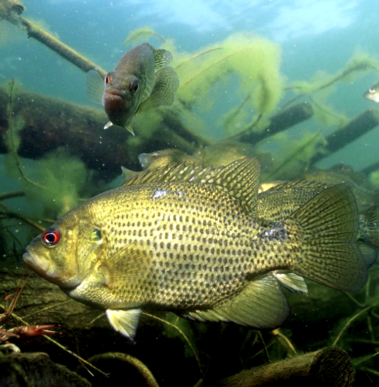
Rock Bass (Goggle-eye)
Ambloplites rupestris
✓ Optimal Temp
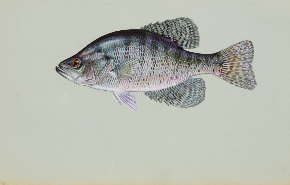
White Crappie
Pomoxis annularis
✓ Optimal Temp
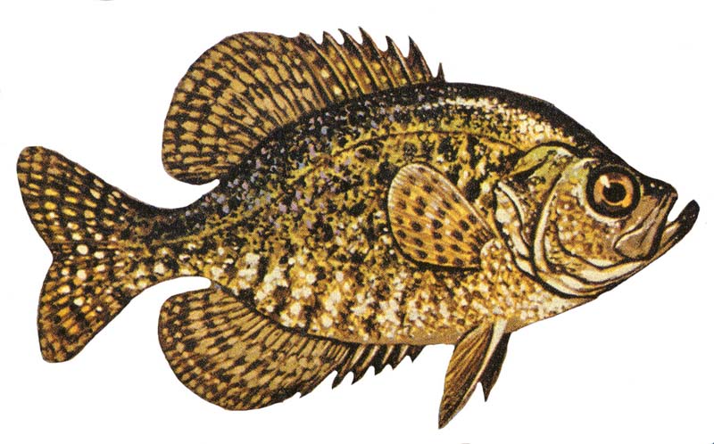
Black Crappie
Pomoxis nigromaculatus
✓ Optimal Temp
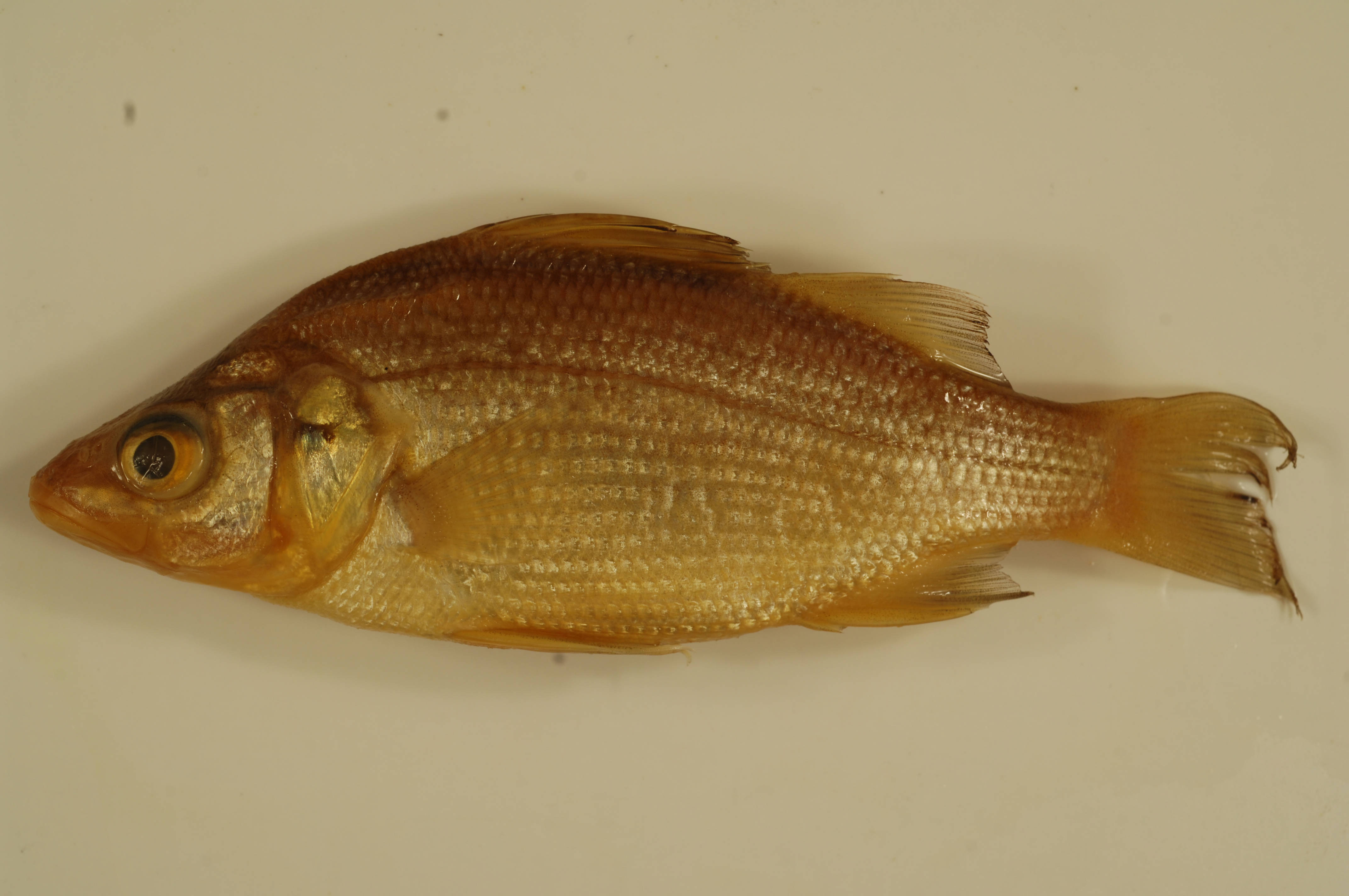
White Perch
Morone americana
✓ Optimal Temp
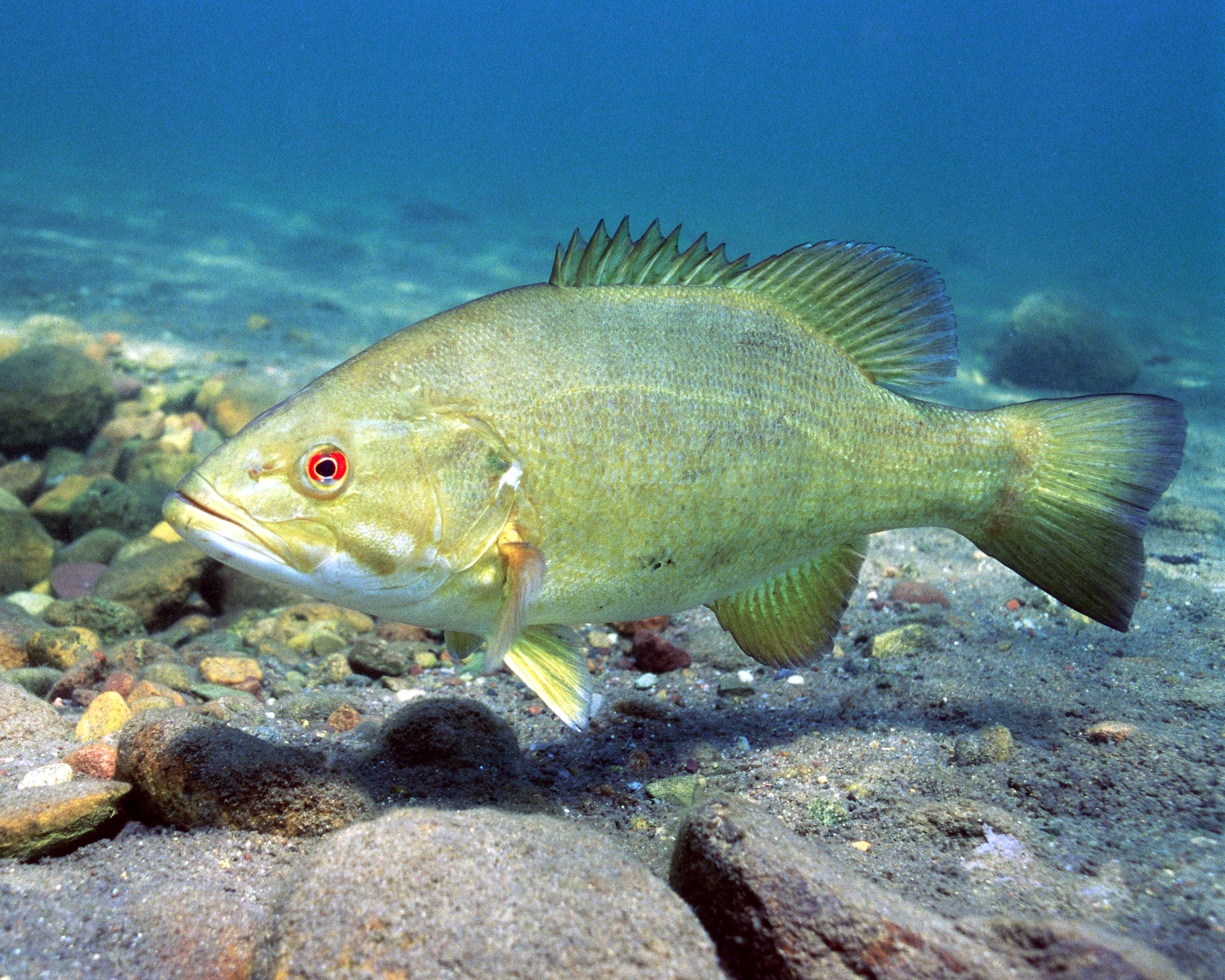
Smallmouth Bass
Micropterus dolomieu
✓ Optimal Temp
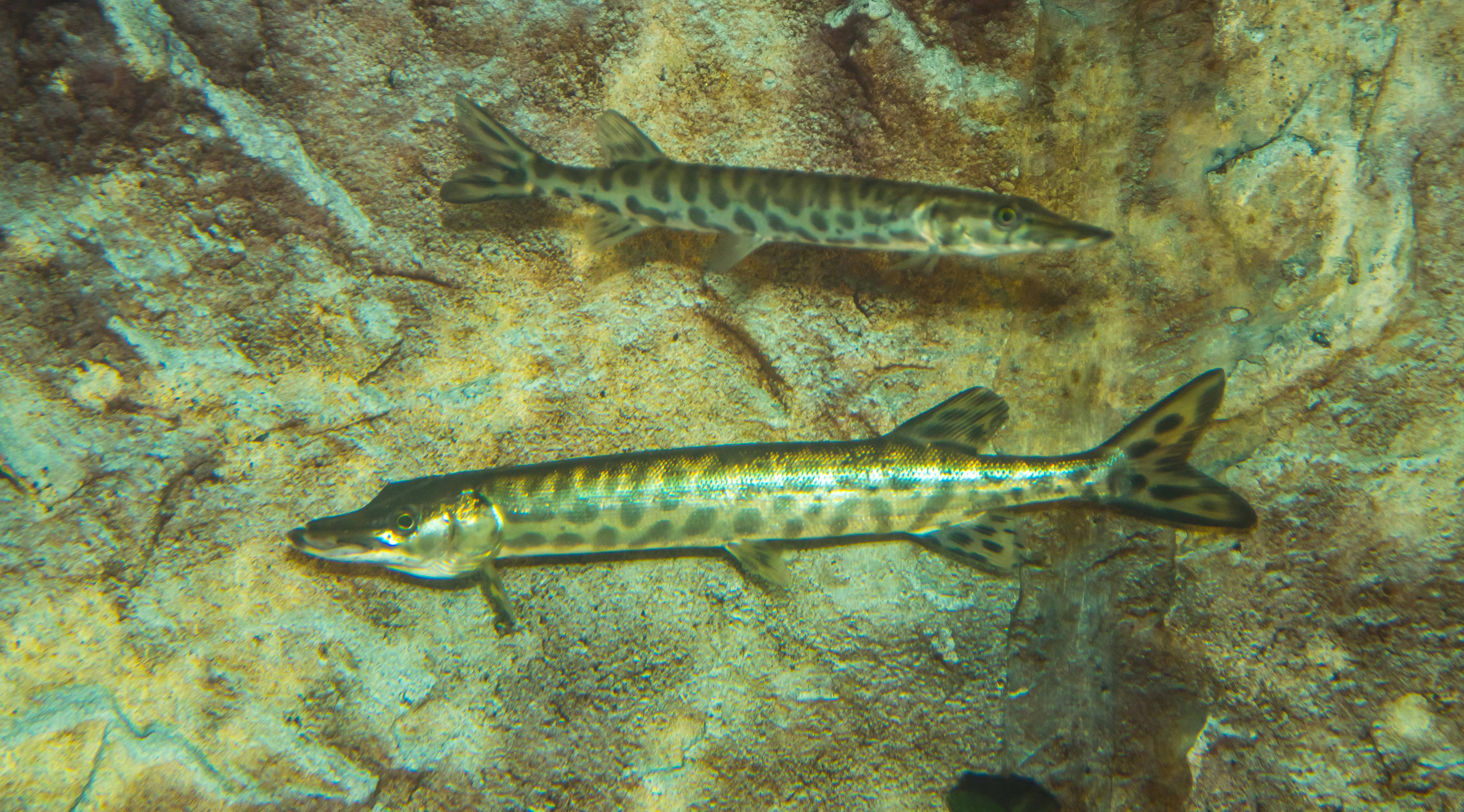
Muskellunge (Muskie)
Esox masquinongy
✓ Optimal Temp
🎣 Fished at Difficult Run Near Great Falls, Va?
Share your catch and help fellow anglers plan their next trip!
📝 Submit a Fishing Report →Location Details
- State: Virginia
- Type: Lake
- Data Source: USGS
- Site Code: 01646000