Monongahela R At Hildebrand Lock & Dam (Upper), Wv Water Level
Current Elevation
Sensor OfflineWater Temperature
41.7° F
Very Cold
Extremely cold water. Winter gear required for any water activity.
Map & Location
GPS: 39.58174955°N, -80.00951220°W
❓ Frequently Asked Questions
Where is Monongahela R At Hildebrand Lock & Dam (Upper), Wv located?
Monongahela R At Hildebrand Lock & Dam (Upper), Wv is a Reservoir located in West Virginia. The exact GPS coordinates are 39.58174955°N, -80.00951220°W. You can use these coordinates to get driving directions via Google Maps.
What is the current water temperature at Monongahela R At Hildebrand Lock & Dam (Upper), Wv?
The latest recorded water temperature at Monongahela R At Hildebrand Lock & Dam (Upper), Wv is 41.7°F, which is classified as "Very Cold". Extremely cold water. Winter gear required for any water activity.
Is it safe to swim or boat at Monongahela R At Hildebrand Lock & Dam (Upper), Wv?
Safety conditions at Monongahela R At Hildebrand Lock & Dam (Upper), Wv depend on current water levels, flow rates, temperature, and weather. Always check the latest data on this page before planning any water activities. Current water temperature is 41.7°F. We recommend checking local advisories and weather forecasts for the most up-to-date safety information.
Is Monongahela R At Hildebrand Lock & Dam (Upper), Wv good for fishing?
Monongahela R At Hildebrand Lock & Dam (Upper), Wv in West Virginia is a popular destination for anglers. With a current water temperature of 41.7°F, conditions are favorable for cold-water species like trout and bass. Always verify you have the appropriate state fishing license.
Other Water Bodies in West Virginia
Tygart Valley R At Tygart Dam Nr Grafton, Wv
reservoir
Tygart Valley River Near Elkins, Wv
river
Hurricane Creek At Hurricane, Wv
river
Elk River At Queen Shoals, Wv
river
Kings Creek At Weirton, Wv
river
Shavers Fork Below Bowden, Wv
lake
Coal River At Tornado, Wv
river
Shavers Fork Nr Cheat Bridge, Wv
lake
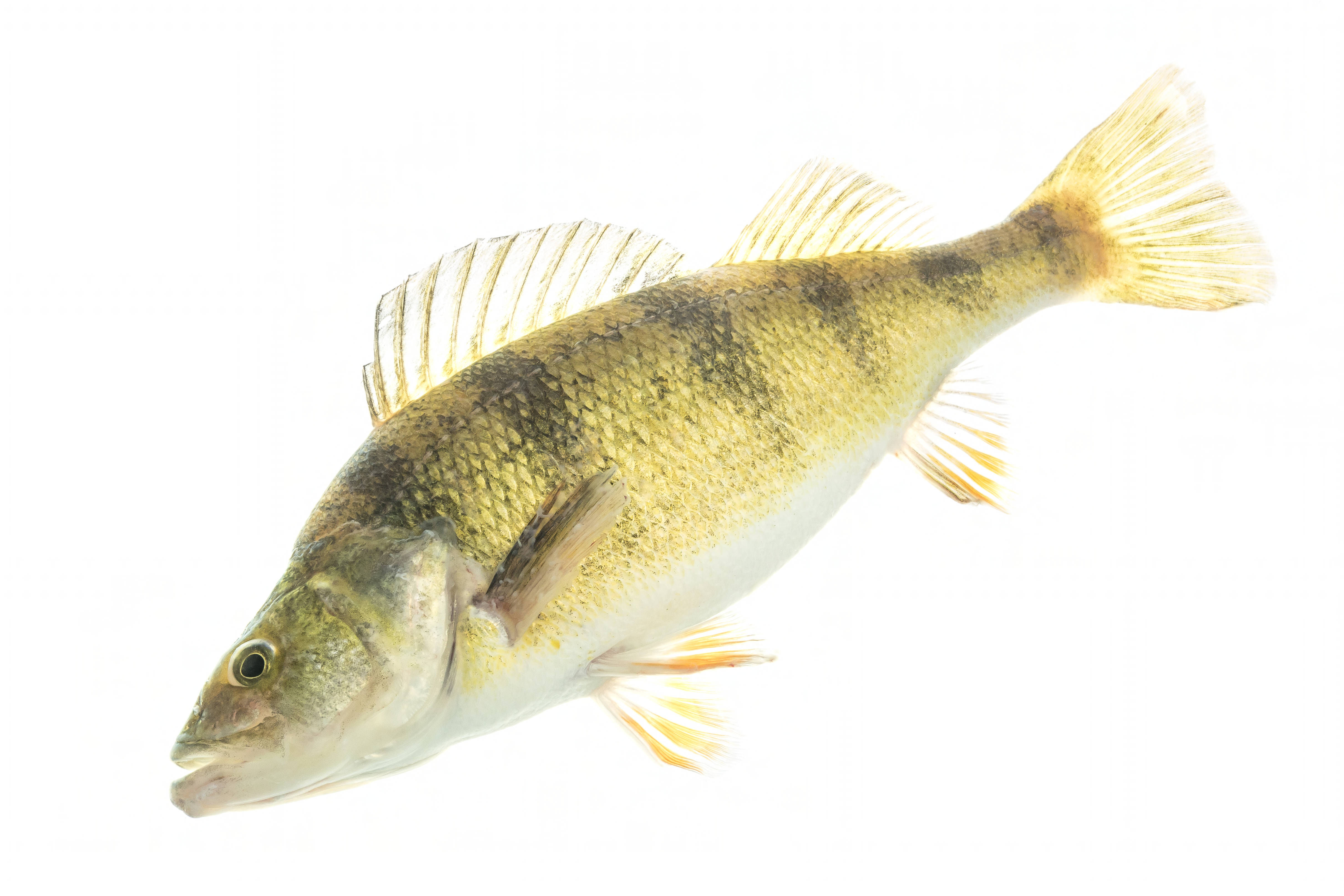
🐟 Fish Species at This Location
Based on the current water temperature of 41.7°F, these species are present but less active in West Virginia.


🎣 Fished at Monongahela R At Hildebrand Lock & Dam (Upper), Wv?
Share your catch and help fellow anglers plan their next trip!
📝 Submit a Fishing Report →Location Details
- State: West Virginia
- Type: Reservoir
- Data Source: USGS
- Site Code: 03062245