Yuma Main Drain Above Arizona-Sonora Boundary Water Level
Current Elevation
Sensor OfflineWater Temperature
81.1° F
Very Warm
Very warm water. Excellent conditions for all water sports and recreation.
Map & Location
GPS: 32.48758333°N, -99.99999999°W
❓ Frequently Asked Questions
Where is Yuma Main Drain Above Arizona-Sonora Boundary located?
Yuma Main Drain Above Arizona-Sonora Boundary is a Lake located in Arizona. The exact GPS coordinates are 32.48758333°N, -99.99999999°W. You can use these coordinates to get driving directions via Google Maps.
What is the current water temperature at Yuma Main Drain Above Arizona-Sonora Boundary?
The latest recorded water temperature at Yuma Main Drain Above Arizona-Sonora Boundary is 81.1°F, which is classified as "Very Warm". Very warm water. Excellent conditions for all water sports and recreation.
Is it safe to swim or boat at Yuma Main Drain Above Arizona-Sonora Boundary?
Safety conditions at Yuma Main Drain Above Arizona-Sonora Boundary depend on current water levels, flow rates, temperature, and weather. Always check the latest data on this page before planning any water activities. Current water temperature is 81.1°F. We recommend checking local advisories and weather forecasts for the most up-to-date safety information.
Is Yuma Main Drain Above Arizona-Sonora Boundary good for fishing?
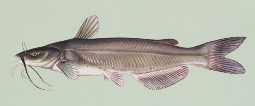
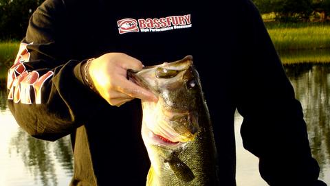
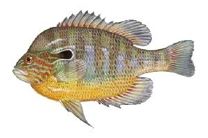
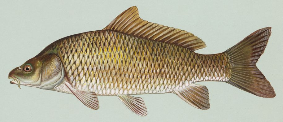
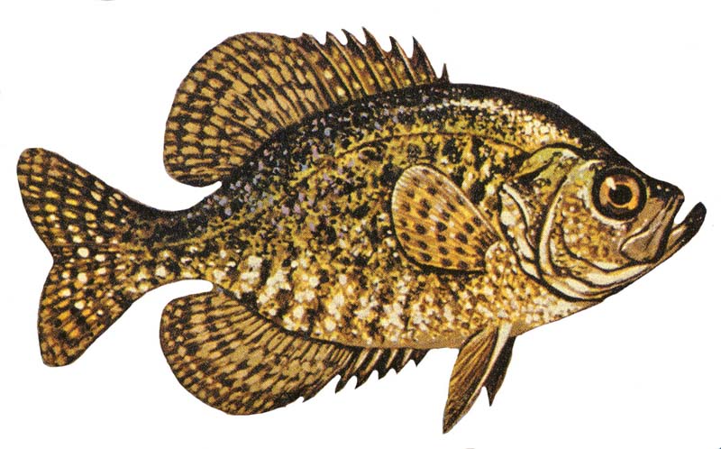
Yuma Main Drain Above Arizona-Sonora Boundary in Arizona is a popular destination for anglers. With a current water temperature of 81.1°F, conditions are suitable for warm-water species like catfish, crappie, and largemouth bass. Always verify you have the appropriate state fishing license.
Other Water Bodies in Arizona
Brawley Wash Near Three Points, Az.
lake
Rincon Creek Near Tucson, Az.
river
Gila River At Miller Rd Near Buckeye, Az
river
Little Colorado River Near Joseph City, Az
river
San Pedro River At Charleston, Az
river
Salt River At Priest Drive Near Phoenix, Az
river
Granite Creek Below Watson Lake Near Prescott, Az
river
Wet Beaver Creek Near Rimrock, Az
river
🐟 Fish Species at This Location
Based on the current water temperature of 81.1°F, these species are actively feeding in Arizona.
🎣 Fished at Yuma Main Drain Above Arizona-Sonora Boundary?
Share your catch and help fellow anglers plan their next trip!
📝 Submit a Fishing Report →Location Details
- State: Arizona
- Type: Lake
- Data Source: USGS
- Site Code: 09534000