Stony Brook At Rt 20 At Waltham, Ma Water Level
Current Elevation
Sensor OfflineWater Temperature
67.1° F
Warm
Pleasant temperature. Great for kayaking, paddleboarding, and active swimming.
Flow Rate (Discharge)
Current flow is 25 cfs (cubic feet per second). Calm flow. Ideal for gentle kayaking and wading.
Map & Location
GPS: 42.36898500°N, -71.27061230°W
❓ Frequently Asked Questions
Where is Stony Brook At Rt 20 At Waltham, Ma located?
Stony Brook At Rt 20 At Waltham, Ma is a River located in Massachusetts. The exact GPS coordinates are 42.36898500°N, -71.27061230°W. You can use these coordinates to get driving directions via Google Maps.
What is the current water temperature at Stony Brook At Rt 20 At Waltham, Ma?
The latest recorded water temperature at Stony Brook At Rt 20 At Waltham, Ma is 67.1°F, which is classified as "Warm". Pleasant temperature. Great for kayaking, paddleboarding, and active swimming.
What is the current flow rate at Stony Brook At Rt 20 At Waltham, Ma?
The most recent discharge measurement at Stony Brook At Rt 20 At Waltham, Ma is 25 cubic feet per second (cfs). This data is provided by USGS and is updated daily.
Is it safe to swim or boat at Stony Brook At Rt 20 At Waltham, Ma?
Safety conditions at Stony Brook At Rt 20 At Waltham, Ma depend on current water levels, flow rates, temperature, and weather. Always check the latest data on this page before planning any water activities. Current water temperature is 67.1°F. We recommend checking local advisories and weather forecasts for the most up-to-date safety information.
Is Stony Brook At Rt 20 At Waltham, Ma good for fishing?
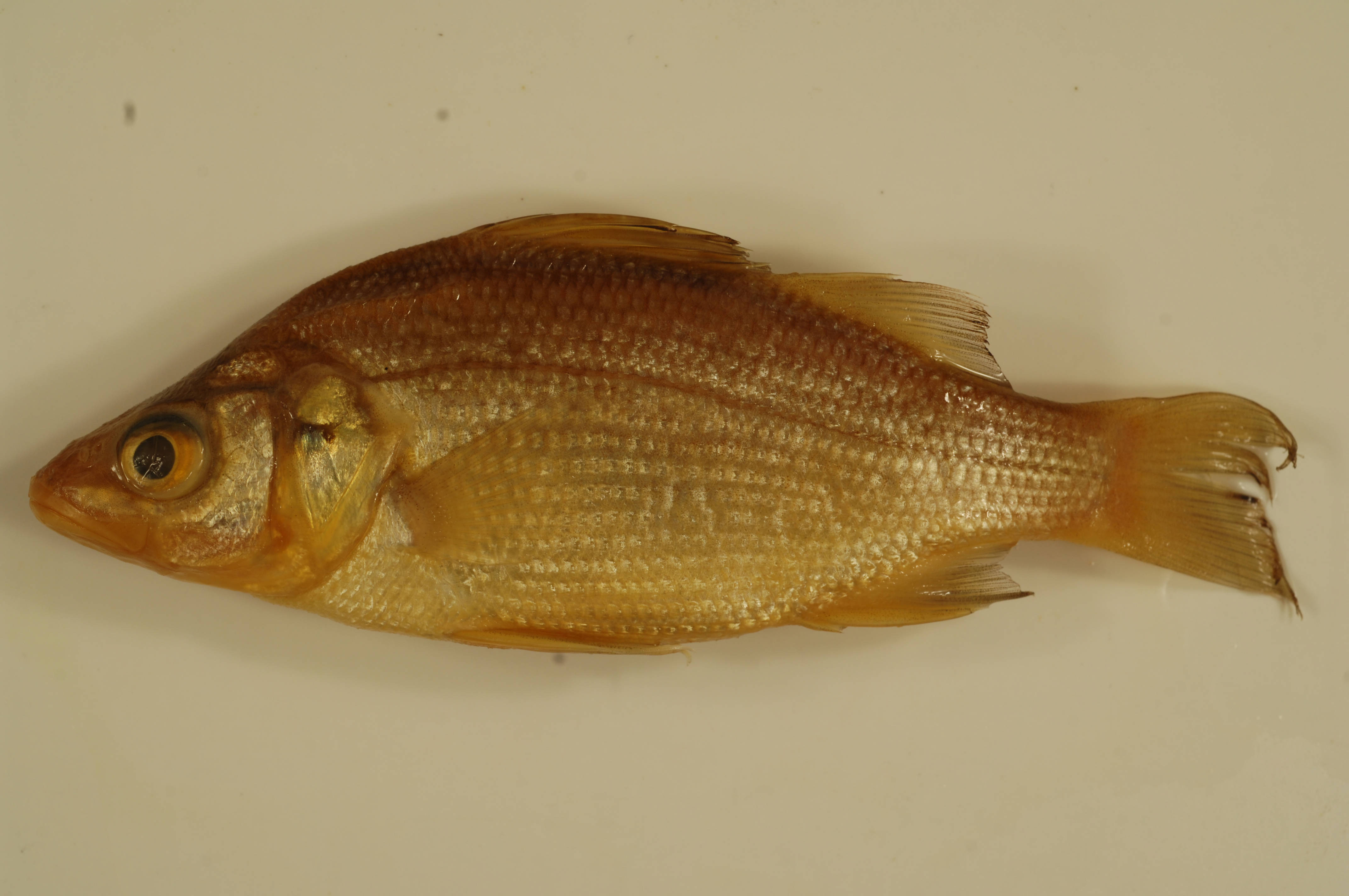
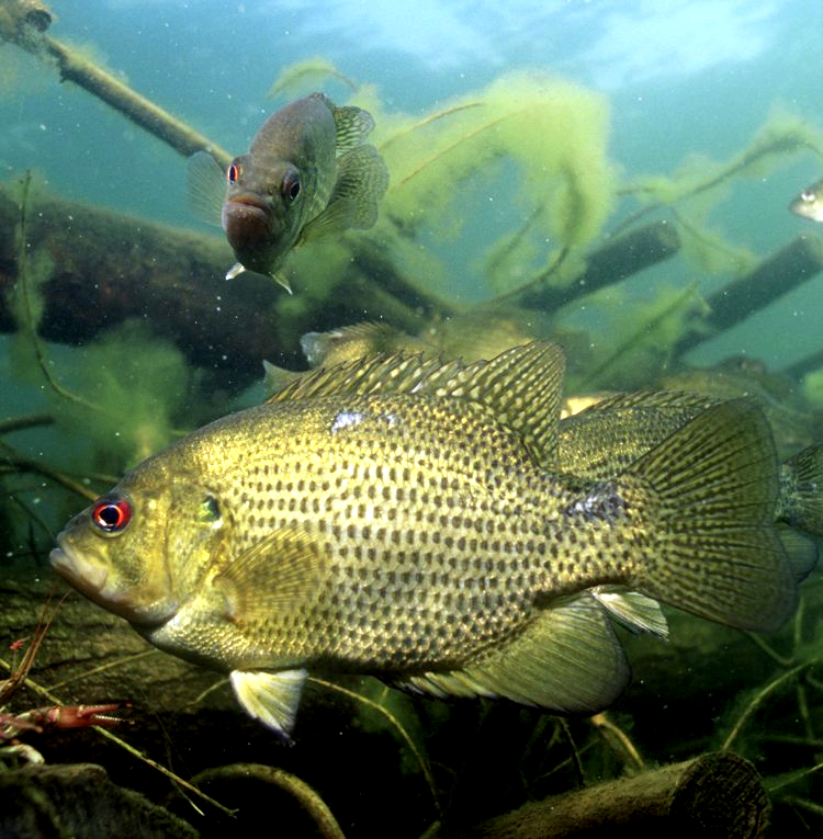
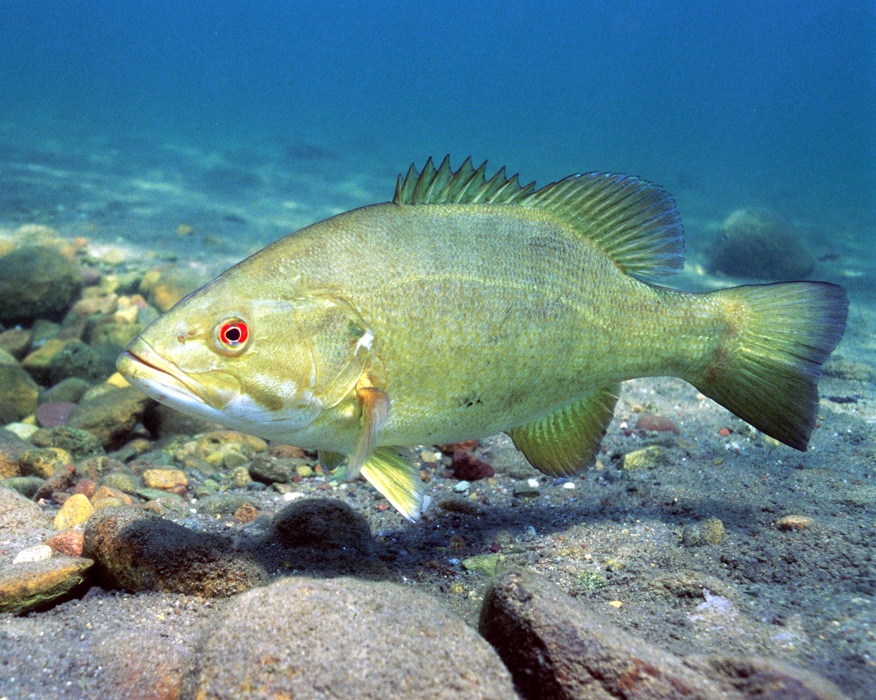
Stony Brook At Rt 20 At Waltham, Ma in Massachusetts is a popular destination for anglers. With a current water temperature of 67.1°F, conditions are suitable for warm-water species like catfish, crappie, and largemouth bass. Always verify you have the appropriate state fishing license.
Other Water Bodies in Massachusetts
Ware River Near Barre, Ma
river
Weweantic River At South Wareham, Ma
river
Segreganset River Near Dighton, Ma
river
Town Brook At Quincy, Ma
river
Cold River At Florida, Ma
river
Weir River At Leavitt Street At Hingham, Ma
river
Merrimack River Bl Concord River At Lowell, Ma
river
Marstons Mills Rv, Ds Out. Of Bog, Mars. Mills, Ma
lake
🐟 Fish Species at This Location
Based on the current water temperature of 67.1°F, these species are actively feeding in Massachusetts.


🎣 Fished at Stony Brook At Rt 20 At Waltham, Ma?
Share your catch and help fellow anglers plan their next trip!
📝 Submit a Fishing Report →Location Details
- State: Massachusetts
- Type: River
- Data Source: USGS
- Site Code: 01104460