White River Bl Table Rock Dam Near Branson, Mo Water Level
Current Elevation
Sensor OfflineWater Temperature
47.3° F
Very Cold
Extremely cold water. Winter gear required for any water activity.
Map & Location
GPS: 36.59506310°N, -93.30907210°W
❓ Frequently Asked Questions
Where is White River Bl Table Rock Dam Near Branson, Mo located?
White River Bl Table Rock Dam Near Branson, Mo is a River located in Missouri. The exact GPS coordinates are 36.59506310°N, -93.30907210°W. You can use these coordinates to get driving directions via Google Maps.
What is the current water temperature at White River Bl Table Rock Dam Near Branson, Mo?
The latest recorded water temperature at White River Bl Table Rock Dam Near Branson, Mo is 47.3°F, which is classified as "Very Cold". Extremely cold water. Winter gear required for any water activity.
Is it safe to swim or boat at White River Bl Table Rock Dam Near Branson, Mo?
Safety conditions at White River Bl Table Rock Dam Near Branson, Mo depend on current water levels, flow rates, temperature, and weather. Always check the latest data on this page before planning any water activities. Current water temperature is 47.3°F. We recommend checking local advisories and weather forecasts for the most up-to-date safety information.
Is White River Bl Table Rock Dam Near Branson, Mo good for fishing?
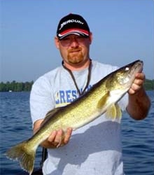
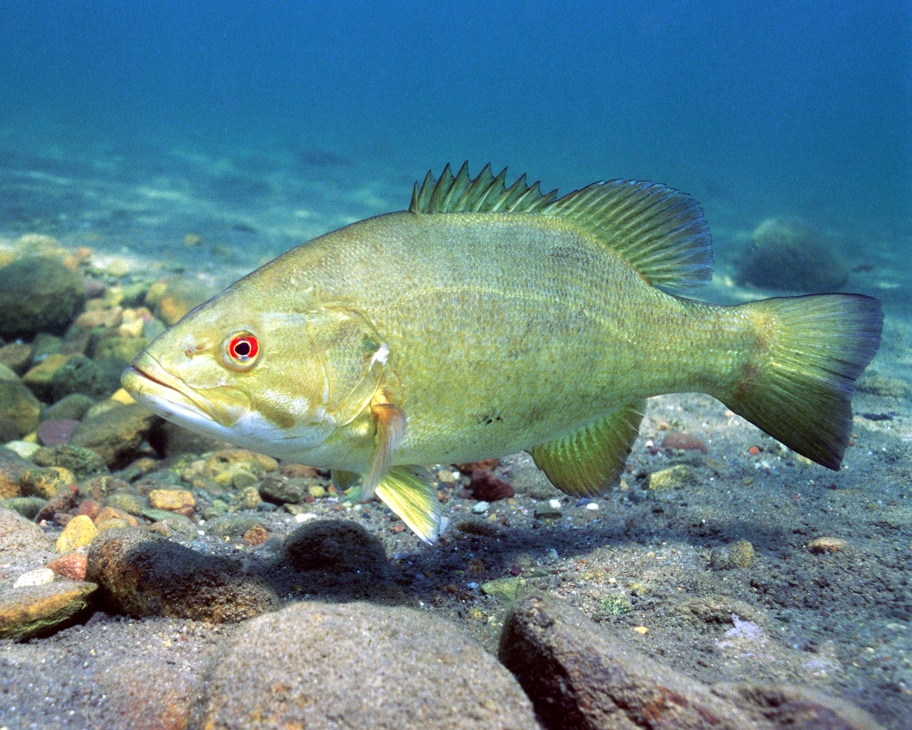
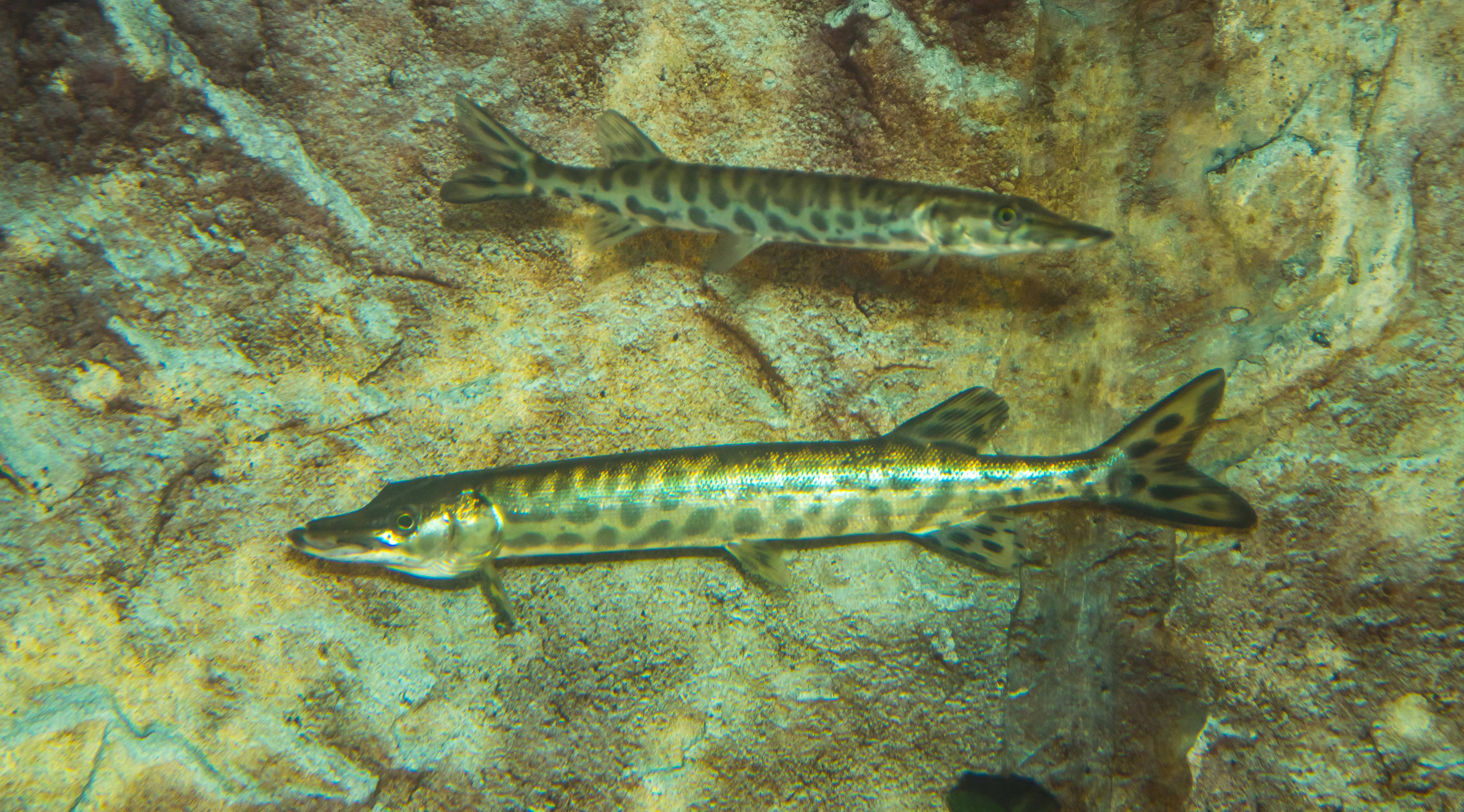
White River Bl Table Rock Dam Near Branson, Mo in Missouri is a popular destination for anglers. With a current water temperature of 47.3°F, conditions are favorable for cold-water species like trout and bass. Always verify you have the appropriate state fishing license.
Other Water Bodies in Missouri
Elk Fork Salt River Near Madison, Mo
river
Osage River At Taberville, Mo
river
Current River At Van Buren, Mo
river
Mackenzie Creek Near Shrewsbury, Mo
river
North Fork Salt River At Hagers Grove, Mo
river
Middle Fabius River Near Ewing, Mo
river
Blackwater River At Valley City, Mo
river
Little Sugar Creek Near Pineville, Mo
river
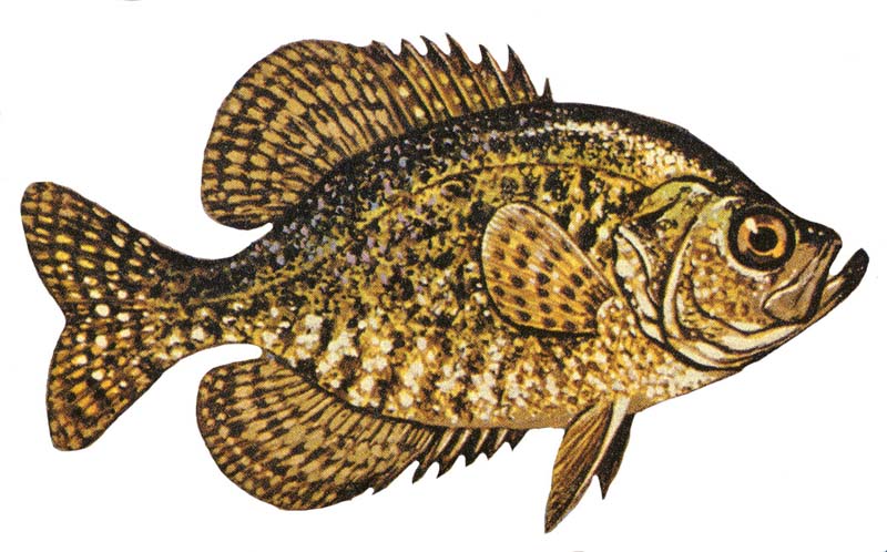
🐟 Fish Species at This Location
Based on the current water temperature of 47.3°F, these species are present but less active in Missouri.

🎣 Fished at White River Bl Table Rock Dam Near Branson, Mo?
Share your catch and help fellow anglers plan their next trip!
📝 Submit a Fishing Report →Location Details
- State: Missouri
- Type: River
- Data Source: USGS
- Site Code: 07053450