Rio Chama Near Chamita, Nm Water Level
Current Elevation
Sensor OfflineWater Temperature
65.1° F
Warm
Pleasant temperature. Great for kayaking, paddleboarding, and active swimming.
Map & Location
GPS: 36.07355556°N, -99.99999999°W
❓ Frequently Asked Questions
Where is Rio Chama Near Chamita, Nm located?
Rio Chama Near Chamita, Nm is a Lake located in New Mexico. The exact GPS coordinates are 36.07355556°N, -99.99999999°W. You can use these coordinates to get driving directions via Google Maps.
What is the current water temperature at Rio Chama Near Chamita, Nm?
The latest recorded water temperature at Rio Chama Near Chamita, Nm is 65.1°F, which is classified as "Warm". Pleasant temperature. Great for kayaking, paddleboarding, and active swimming.
What is the current flow rate at Rio Chama Near Chamita, Nm?
The most recent discharge measurement at Rio Chama Near Chamita, Nm is 135 cubic feet per second (cfs). This data is provided by USGS and is updated daily.
Is it safe to swim or boat at Rio Chama Near Chamita, Nm?
Safety conditions at Rio Chama Near Chamita, Nm depend on current water levels, flow rates, temperature, and weather. Always check the latest data on this page before planning any water activities. Current water temperature is 65.1°F. We recommend checking local advisories and weather forecasts for the most up-to-date safety information.
Is Rio Chama Near Chamita, Nm good for fishing?
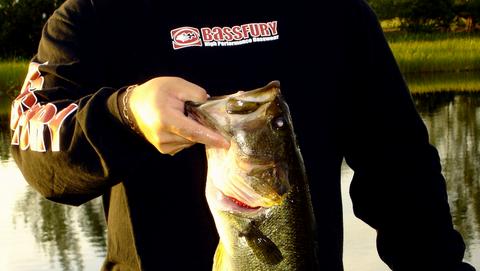
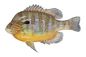
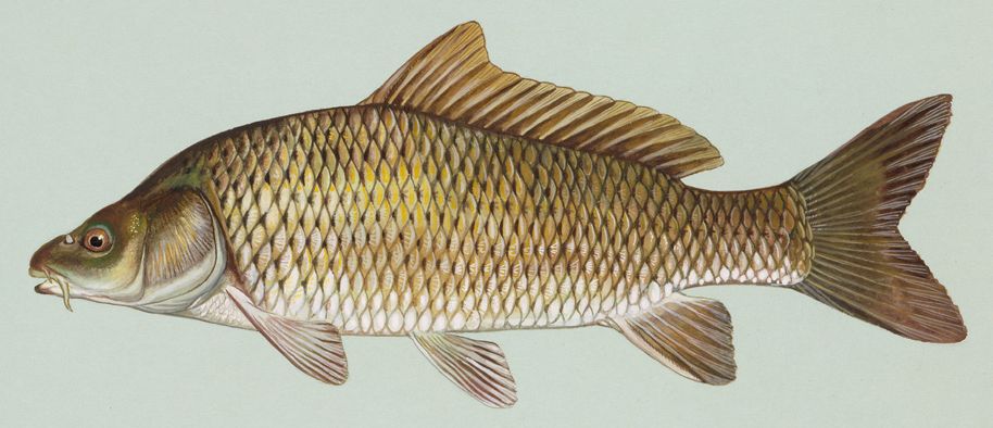
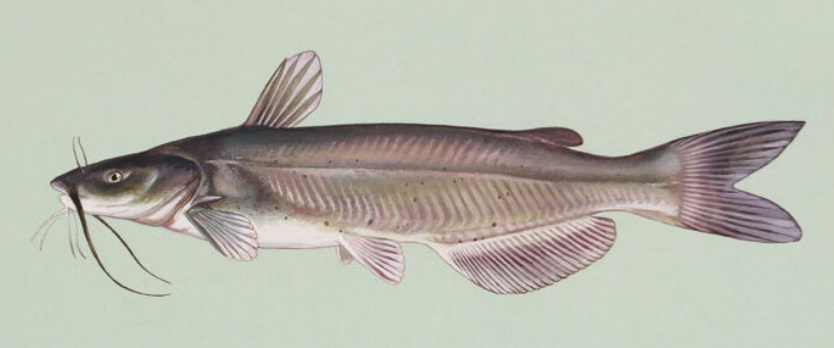
Rio Chama Near Chamita, Nm in New Mexico is a popular destination for anglers. With a current water temperature of 65.1°F, conditions are suitable for warm-water species like catfish, crappie, and largemouth bass. Always verify you have the appropriate state fishing license.
Other Water Bodies in New Mexico
Rio Pueblo De Taos Near Taos, Nm
lake
Tijeras Arroyo Nr Albuquerque, Nm
lake
San Antonio Arroyo At Rio Grande Confluence In Abq
lake
Santistevan Creek Near Costilla, Nm
river
Blue Springs Above Diversions Nr Whites City, Nm
lake
Rio Grande Near Cerro, Nm
lake
San Juan R At Bolack Ranch Brdg Nr Farmington Nm
lake
North Pino Arroyo Outfall
lake
🐟 Fish Species at This Location
Based on the current water temperature of 65.1°F, these species are actively feeding in New Mexico.


🎣 Fished at Rio Chama Near Chamita, Nm?
Share your catch and help fellow anglers plan their next trip!
📝 Submit a Fishing Report →Location Details
- State: New Mexico
- Type: Lake
- Data Source: USGS
- Site Code: 08290000